April 30, 2025

Nautical charts are essential tools for maritime navigation. They graphically represent coastlines, depths, hazards, navigational aids and other elements relevant to a safe voyage.
With the technological evolution, today navigators can choose between traditional printed nautical charts and electronic or digital charts, each with its own characteristics, advantages and recommended uses.
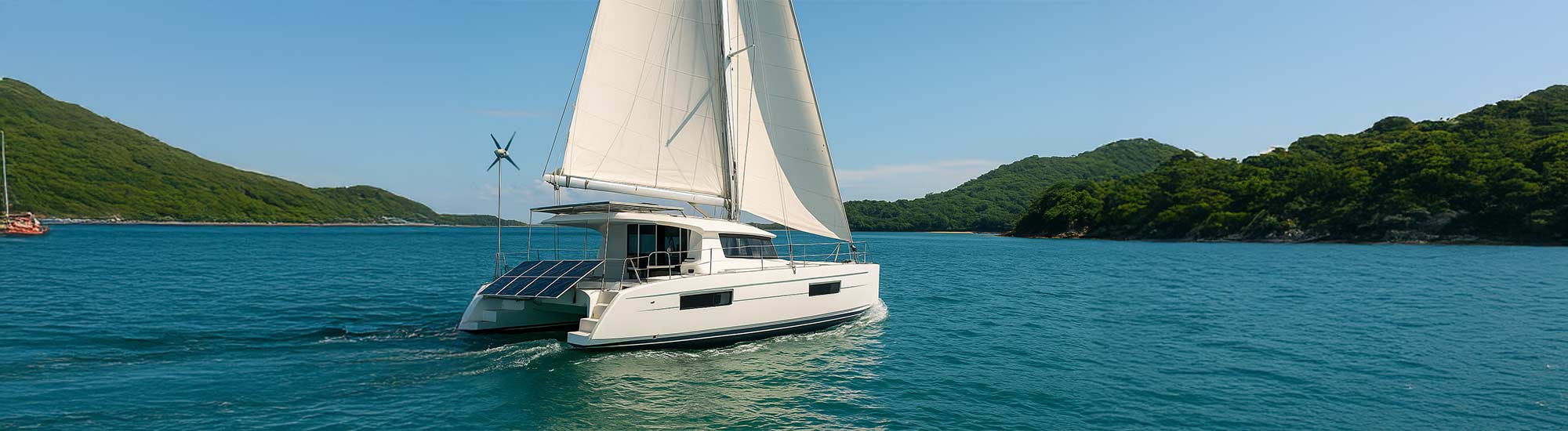
¿Necesitas cartas náuticas?
Te ofrecemos cartas náuticas digitales o impresas así como publicaciones náuticas.
Más información
Main differences between printed and digital nautical charts
1. Format and presentation
- Printed charts: these are physical maps on paper, generally of large size, traditionally used in command bridges.
- Digital charts: presented on electronic device screens, integrated in ECDIS (Electronic Chart Display and Information System) systems or nautical apps.
2. Updating of information
- Printed: require manual annotations or replacement with new versions to reflect changes in nautical information.
- Digital: they can be automatically updated through connection to official databases, ensuring greater accuracy and real-time validity.
3. Integration with other systems
- Digital charts can overlay information from radar, AIS (Automatic Identification System), weather and pre-programmed routes.
- The printed ones do not allow interaction, so their use is based exclusively on visual and manual interpretation.
4. Reliability and energy dependence
- Printed charts do not require power or devices, making them ideal as a backup in case of power or digital system failure.
- Digital charts rely on electronic systems, so they require constant power backup and measures against cyber-attacks or technical errors.
Benefits of using printed letters
- They are required by law in many cases as mandatory endorsement.
- They are useful to plan large-scale routes and to have a complete view of the environment.
- They are essential on vessels without access to complex electronic systems.
Practical example
A sailboat on an ocean crossing experiences an electrical failure. The crew resorts to printed charts to continue navigation and locate their position with respect to known currents and obstacles.

Benefits of using digital charts
- Continuously updated with the latest hydrographic and meteorological data.
- Increased capacity for real-time analysis of overlapping data.
- Physical space saving and agility in coastal and intercontinental navigation.
Practical example
A commercial vessel transits the English Channel in changing weather conditions. ECDIS displays real-time weather deviations, hazards and traffic, allowing the captain to adjust the route in advance.

Combined use: the safest option
The current trend is not to choose between one format or the other, but to combine them to maximize safety and efficiency:
- Planning with printed chart + execution with digital chart
- Electronic charts for dynamic tracking + paper chart as a backup
Interseas, authorized supplier of official nautical charts
Interseas Naval Service is authorized by the UKHO (United Kingdom Hydrographic Office) for the distribution and sale of official nautical charts under the Print on Demand (POD) system. This allows us to offer:
- Letters updated at the time of printing
- Distribution of both UK charts and other international hydrographic areas
- Advice on the selection of appropriate charts according to area, type of vessel or regulations.
Why choose us?
- Extensive in-stock catalog and direct access to UKHO database
- Print-on-demand service for newly updated letters
- Domestic and international shipments with tracking
- Technical support to captains, shipowners and nautical schools
Conclusions
Maritime safety starts with good planning and the use of reliable tools. Both printed and digital nautical charts are key parts of that strategy.
At Interseas, we help you to equip your bridge with the most reliable and updated cartography, complying with international standards.
📩 Do you need official nautical charts for your next trip or for professional use? Contact us and we will advise you without obligation.